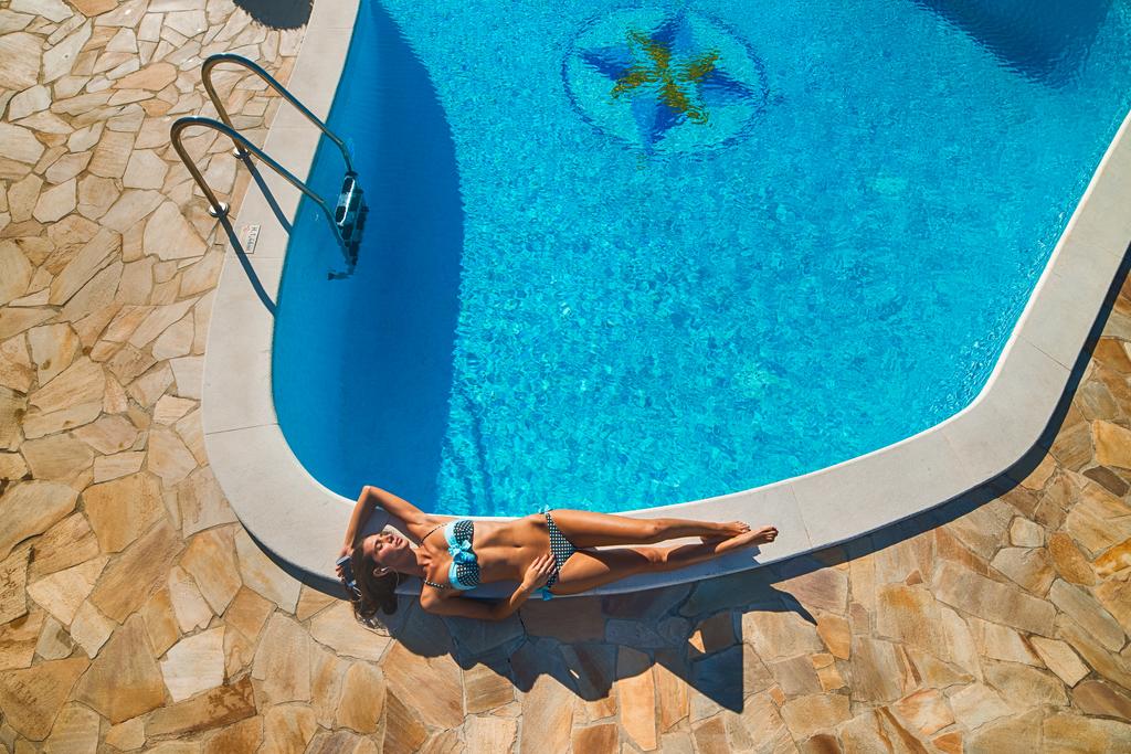
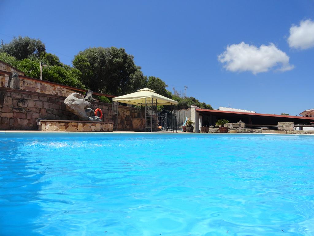
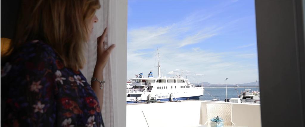
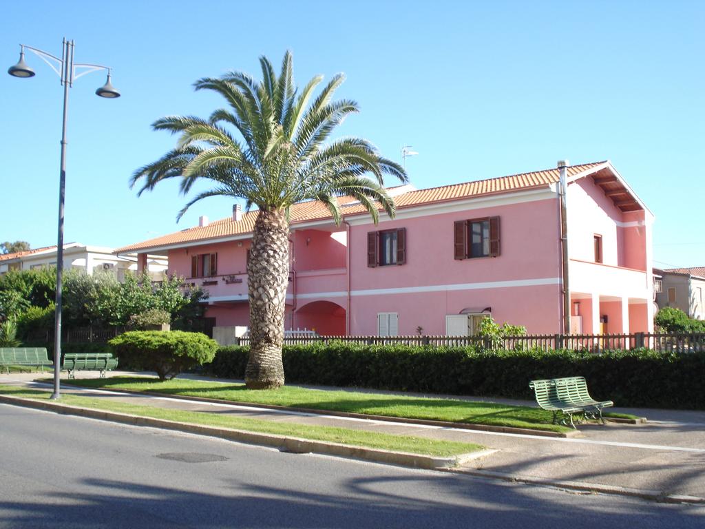
Sant'Antioco (SU)
Latitude: 39.0616
Longitude: 8.4546
Population: 11083
Area: 87,90
Density: 126,09

The island of S. Antìoco 18 km long and 8 km wide is the largest of the
islands that surround Sardinia, the fourth in Italy after Sicily, Sardinia itself and Elba.
Sant’Antìoco is also the main center of the island, which developed on the slopes of the Castle hill.
He is the heir of Sùlcis (or Sulci), one of the oldest Phoenician foundations in Sardinia (8th century BC), preceded by a nuragic settlement documented by the remains of a nuraghe and a village on the height of the 18th century fortress.
Under the Carthaginian rule the city grew in importance due to the mineral resources of the Sùlcis-Iglesiente. In 258 BC a naval battle took place near Sùlcis between the Punics and the Romans, with the defeat of the former.
Under the emperor Claudius it was elevated to the rank of "municipium".
As the seat of the diocese it is testified from 484 and during the Byzantine age, but, too exposed to Saracen invasions, it was abandoned from the late Middle Ages to the century. XVIII.
In the town there is Piazza Italia, near which is the source, locally called "Is solus", built by the Romans as a drainage of a marshy area, and still efficient.
In via Eleonora d'Arborea, on the other hand, there are the remains of a stone funerary mausoleum of the Republican age, with Punic decorative features, with a sepulchral chamber with Egyptian gorges, known as "sa tribuna" or "sa presonedda".