Ittiri (SS)
Latitude: 40.5939
Longitude: 8.5694
Population: 8464
Area: 111,46
Density: 75,94
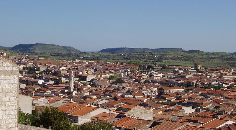
It is a large agricultural center available in a checkerboard pattern on the southern slopes of Mount S. Giovanni at an altitude of 400m.
Always characterized by economic vivacity, especially in the commercial field, determined by the integration with the urban triangle formed by Sassari-Alghero-Porto Torres of north-western Sardinia.
The production of traditional handicrafts of dwarf palm and raffia baskets, tapestries and carved woods is also important in the town's economy.
Widespread is also the processing of trachyte, used as an instrument of artistic expression, celebrated by a Biennale; the works of the artists invited to the various editions are exhibited inside the town.
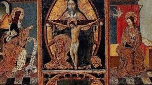
Worthy of a visit is the parish church of S. Pietro in Vincoli, of fifteenth-century origin, with an imposing neoclassical facade of the late nineteenth century, has a valuable wooden high altar while another polychrome wooden altar, of the century. XVII, is in the church of S. Croce, on the western outskirts of Ittiri.
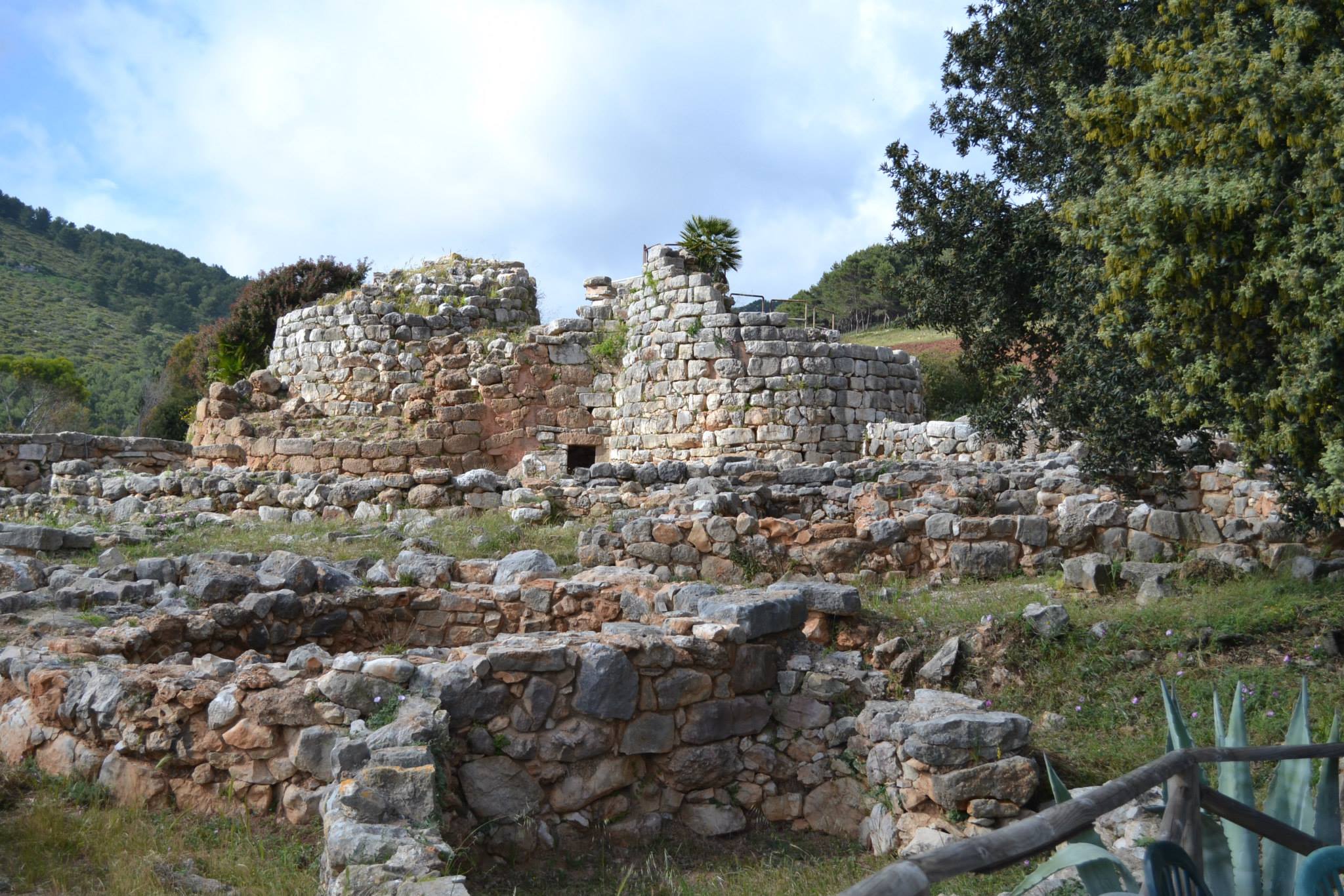
In the territory of Ittiri there are various testimonies of the pre-Nuragic period such as the characteristic domus de janas. In the Nuragic age the area was perhaps inhabited by the tribe of the Coracenses, mentioned by Ptolemy; the numerous nuraghi scattered throughout the area date back to this phase.
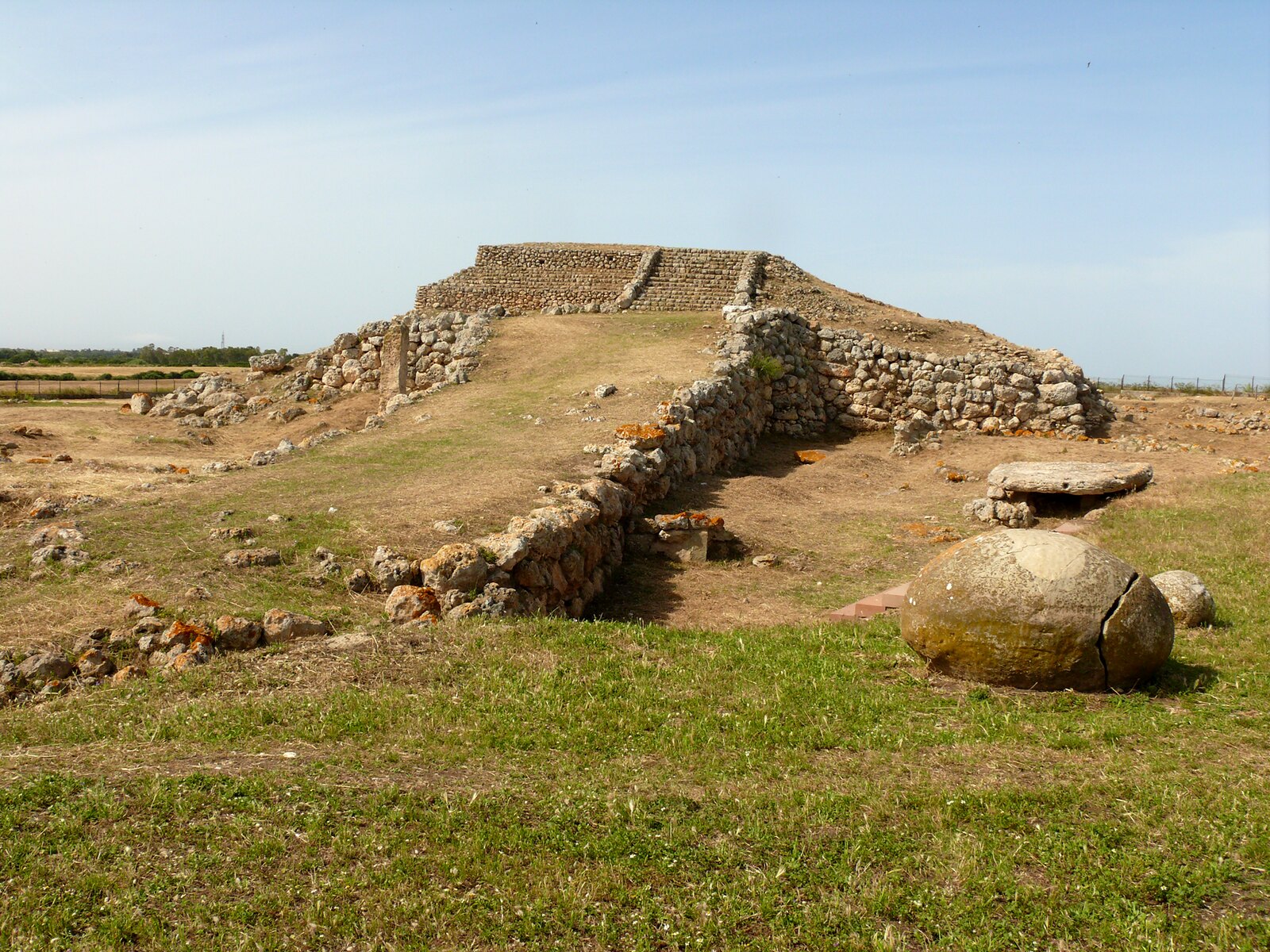
The archaeological complex of Sa Figu, with its domus de janas is particularly rich in elements and traces ranging from the period between the final phases of the Neolithic and the beginning of the Aeneolithic, up to the most ancient phase of the age of bronze (from the fourth millennium BC to the beginning of the second).