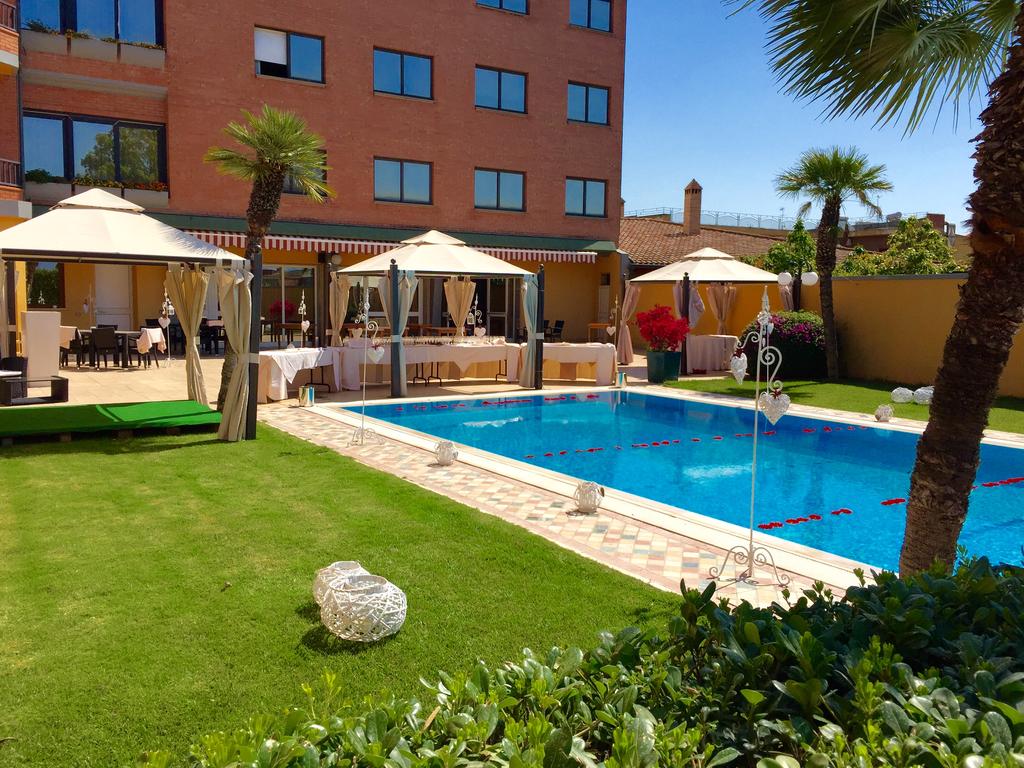
Decimomannu (CA)
Latitude: 39.3128
Longitude: 8.9698
Population: 8283
Area: 27,72
Density: 298,84
Decimomannu an agricultural town of Roman origin (tenth ab urbe Karali miliario), is located in a flat area within a bend of the Riu Mannu river
Decimomannu was part of the settlement system of historic centers arranged along the road layout that accompanies the left bank of that river.
The ancient itinerant function along the route from Kàralis to Sùlcis (today Sant’Antìoco), maintained in the modern age, was confirmed in 1871 with the passage of the first railway section of Sardinia from Cagliari to Villasor.
The first human settlements in the territory of Decimomannu date back to the Neolithic-Chalcolithic.
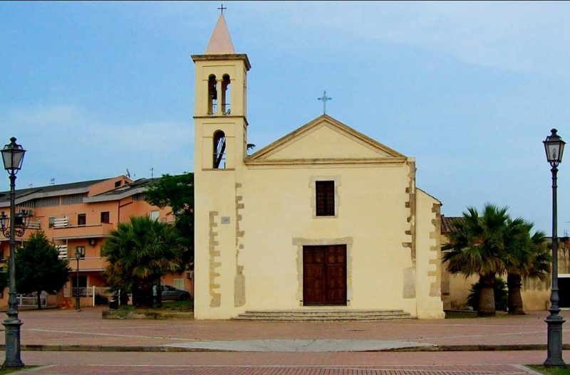
Interesting in the center of the village is the parish church of Sant'Antonio Abate dating back to the 16th century in Gothic-Catalan style.
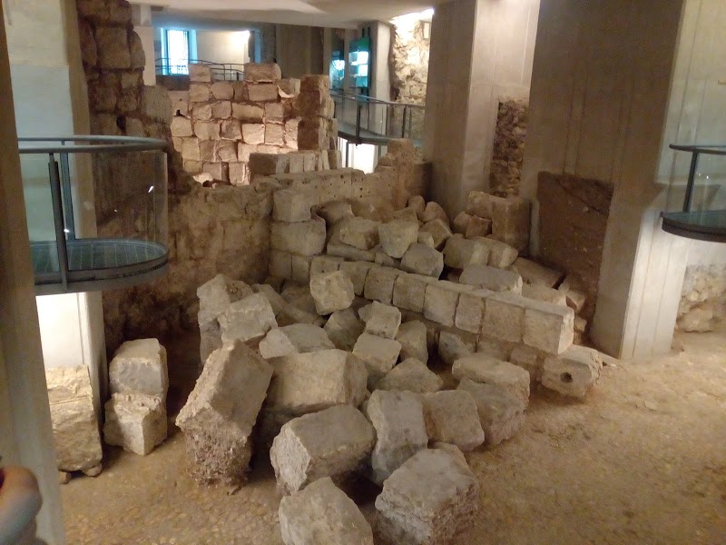
Of particular interest is the presence of a Roman bridge crossed by the Rio Mannu, in the locality of Bingia Manna, to the left of the SS 130, at the height of today's bridge.
Of this ancient building, originally formed by 13 arches, built in squared limestone ashlars, today only three arches remain standing; on one of them is visible what presumably must have been a limestone tuff sarcophagus, set in the structure of the building.